
Kashmir Water Levels Remain Below Danger Mark: River Jhelum and Tributaries Flow Normally Amid Rainfall
SRINAGAR April 4, 2026 — The Irrigation and Flood Control Department of Kashmir has reported that water levels in the River Jhelum and its primary tributaries remain well within the normal range as of 9:00 a.m. today.
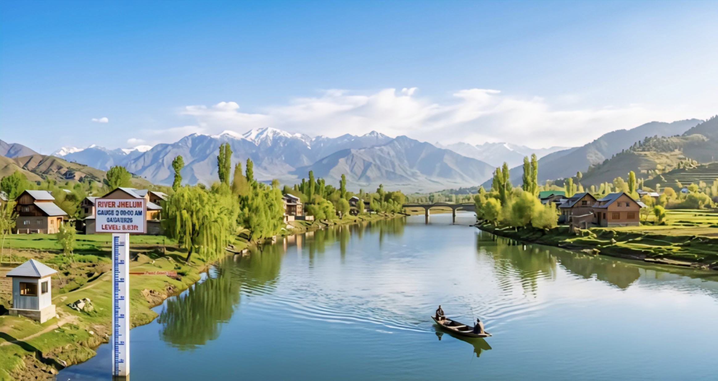
Despite recent precipitation in the valley, gauge readings at key stations indicate no immediate threat of flooding. At the Sangam monitoring station, the water level was recorded at 6.63 feet, significantly below the 21-foot flood alarm level.
Similarly, at Munshi Bagh in Srinagar, the river is flowing at 7.05 feet against a warning level of 18 feet, while readings at Pampore, Asham, and Wullar Lake similarly confirm stable conditions across the Jhelum’s course.
The department’s data for major tributaries also reflects a “normal” status across the region. The Vishow Nallah at Khudwani recorded a level of 5.21 meters, comfortably below its 7.75-meter alarm point.
Other critical streams, including the Rambiyara Nallah at Wachi (0.33m), the Lidder Nallah at Batkoot (-0.10m), and the Doodhganga Nallah at Barzulla (1.80m), are all flowing significantly below their respective danger thresholds.
With the Sindh Nallah at Doderhama also showing a stable reading of 0.64 meters, authorities continue to monitor the situation closely while assuring the public that all water bodies are currently maintaining safe levels.