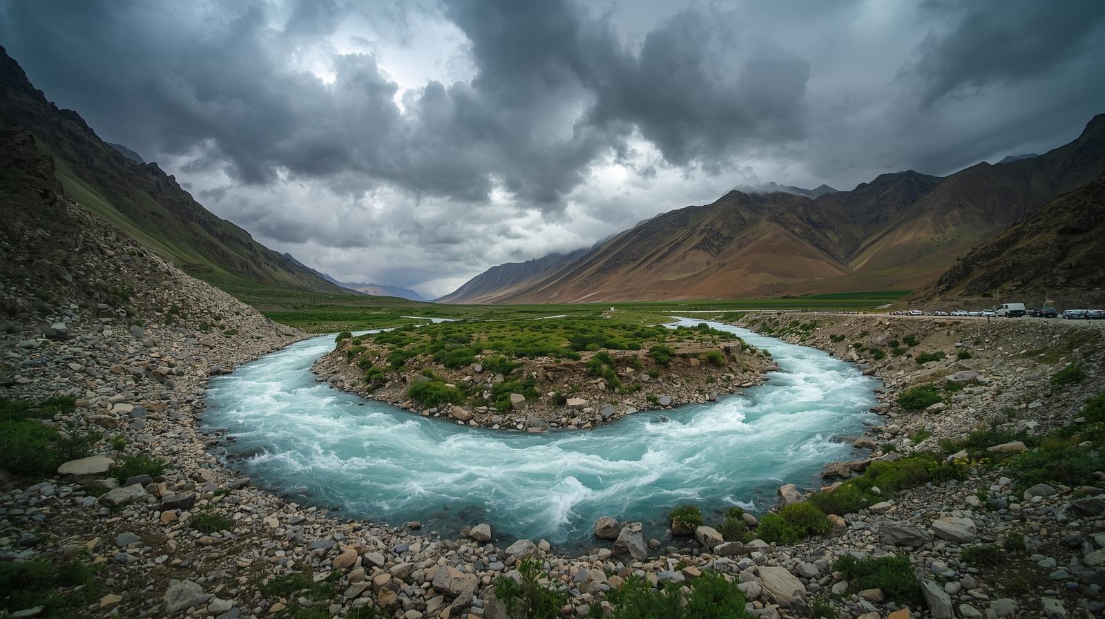
PHOTO FOR REPRESENTATION PURPOSE ONLY
SRINAGAR, July 23, 2026 — Water levels across key measuring stations of the River Jhelum in Jammu and Kashmir showed a steady upward trend on Thursday afternoon, according to official gauge data recorded at 1:00 PM. While levels currently remain below danger marks, officials are keeping a close watch as major stretches of the main river and several primary tributaries report increasing discharges.
At the Sangam gauging station in South Kashmir, the River Jhelum registered a depth of 18.46 feet against its flood alert level of 21 feet and critical mark of 25 feet. Downstream, water levels at Pampore stood at 4.01 meters (alert mark: 4.5m), while Central Kashmir’s Munshi Bagh in Srinagar reached 15.77 feet (alert mark: 18ft). Further north, Asham recorded 9.07 feet (alert mark: 14.0ft), with all four stations indicating a rising status. Meanwhile, the Wullar Lake reading remained stable at 1,575.64 meters against its 1,578.00-meter threshold.
The situation across major tributaries remains mixed. The Vishow Nallah at Khudwani edged closer to its alert threshold, recording 7.25 meters against a 7.75-meter warning mark with a rising status, alongside the Rambiyara Nallah at Wachi, which increased to 2.05 meters. Conversely, several tributaries displayed a encouraging downward trend; the Lidder Nallah at Batkoot dropped to 1.45 meters, the Doodhganga Nallah at Barzulla eased to 1.45 meters, and the Sindh Nallah at Doderhama decreased to 2.72 meters. Irrigation and Flood Control authorities continue to monitor the overall gauge status closely.